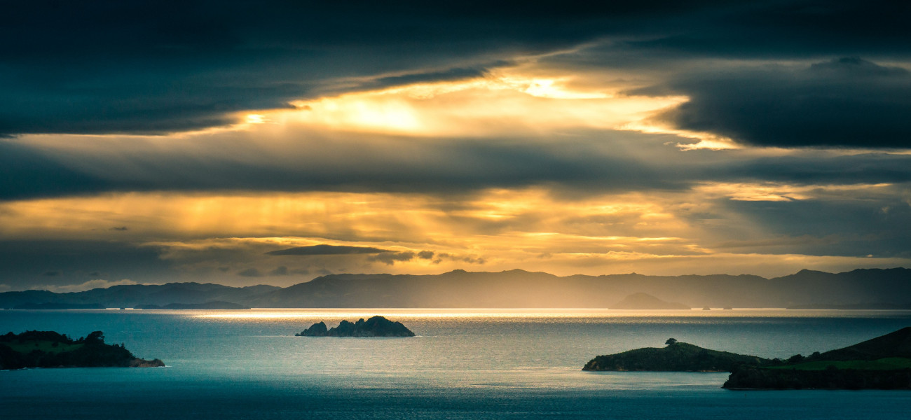
Waiheke Island’s story stretches back hundreds of years, long before its rise as a beloved destination in the Hauraki Gulf. With its ancient pā sites, rich volcanic soils, and deep ancestral ties, the island’s past is layered with stories of navigation, resilience, settlement, and transformation.
First Arrivals and Ancestral Connections
The first known inhabitants of Waiheke were Te Uri Karaka, a hapū known for their seafaring and fishing skills. Rather than cultivating the land, they thrived in the island’s coastal environment, moving with the tides and harvesting the ocean’s abundance. Archaeological evidence connects their occupation to Motutapu Island before the eruption of Rangitoto over 600 years ago.
Following this eruption, volcanic ash and scoria were carried across the Hauraki Gulf, blanketing parts of Waiheke’s western shores. Shell deposits near Wharetana Bay have been carbon-dated to around 1380 AD, giving us one of the earliest markers of human activity on the island.
Later, waka such as Te Arawa and Tainui arrived, ushering in new phases of Māori occupation. Ngāti Pāoa, part of the Marutūāhu confederation, became the principal iwi of Waiheke. They established numerous fortified pā sites across the island, as well as areas for gardening, fishing, and seasonal living. The island became a nexus of trade routes and tribal relationships across the Gulf.
The name Waiheke is commonly translated as “cascading water” or “ebbing waters,” a poetic reference to the island’s streams, tides, and coastal rhythms.
European Arrival and Early Change
Captain James Cook sailed past Waiheke in 1769, but it wasn’t until the early 1800s that European settlers began to establish a presence. The first recorded settler, Thomas Maxwell, arrived in 1825 and married into a local Māori family. He built one of the island’s earliest sailing vessels using abundant kauri timber, marking the start of kauri logging, a resource valued across the British naval fleet for masts and spars.
Church Bay gained its name from one of the island’s first Christian sites, where Māori teacher William Jowett helped establish a church in 1833. Over time, trading began with Auckland for goods like kumara, potatoes, corn, and firewood.
The 1800s also saw the development of Māori-Christian relationships, the displacement of iwi due to land pressure, and the gradual growth of small European farming communities.
Farming, Roads, and Expansion
By the early 20th century, Waiheke was home to a modest but growing population of around 200 residents. The island’s fertile soils supported sheep, cows, and horses, and wool from Blackpool farms was regularly ferried to Auckland.
Significant infrastructure projects soon followed. Seaview Road was laid in 1918. Sand and shingle from Hooks Bay and Owhanake were used in the construction of Auckland’s Grafton Bridge. In 1921, land could be bought for just two pounds and ten shillings, marking the beginning of subdivision and suburban growth in places like Oneroa.
War-Time Defence and Island Fortification
During World War II, Waiheke played an important role in Auckland’s coastal defence network. Gun emplacements, radar stations, and barracks were installed, particularly at Stony Batter and Palm Beach. Soldiers trained across the island, and remnants of this period can still be explored today, offering a striking contrast to Waiheke’s peaceful present.
Power, Progress and Community Life
Electricity reached the island in 1957, replacing coal and firewood as the primary source of power. Through the 1960s and 70s, Waiheke began to take on a new character. It became a haven for artists, writers, and alternative communities seeking a slower, freer way of life. Camping grounds sprang up near Palm Beach. Markets and grassroots groups thrived. Waiheke’s self-sufficient, nature-connected lifestyle began to shape the island’s unique cultural identity.
Becoming Part of Auckland
In 1989, Waiheke was formally incorporated into Auckland’s city governance. By the 1990s, key infrastructure like the Matiatia Wharf had been upgraded, and improved ferry access opened the island up to a growing number of visitors and new residents.
What began as a quiet island with dirt roads and coastal farms started to transform into a thriving destination, yet one that still fiercely guarded its independence, creativity, and environmental values.
Waiheke Today – Living History
Today, Waiheke is a unique blend of heritage and modernity. Marae and art galleries, vineyards and walking tracks, restored pā sites and boutique stays—all exist side-by-side. Many of the island’s historic pā sites, middens, and walking routes remain intact, honouring generations past.
Ngāti Pāoa continue to maintain strong connections to the island, and the Piritahi Marae at the north end of Oneroa serves as a cultural hub and spiritual anchor.
Waiheke’s history is not locked in museums or hidden behind glass. It lives in the hills, the bays, and the people. Whether you’re visiting for the weekend or putting down roots, the stories of this place continue to shape and inspire every step.
