Exploration and Setting up camp
Migration happened in the archaic period with big canoes similar to the likes of the Mataatua, Takitimu, and Aotea bringing people to the land that was known as ‘the long sheltering island’, later known as the island for ‘cascading waters’. The land was rich in kauri trees, red beech, and rimu.
The first residents of Waiheke were Te Uri Karaka. This hapu were great at fishing and did not cultivate agriculture, but instead were at home in the water. It’s worth noting that archaeologists have found evidence of Te Uri Karaka from nearby Motutapu Island, before the great eruption of Rangitoto. Today, they're recalled by the name of the Te Uri Karaka Reserve which is located near Church Bay.
Behold, an eruption!
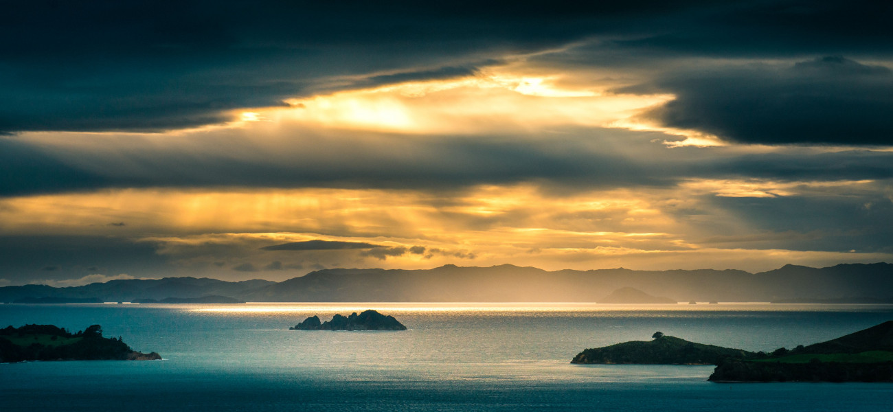
Imagine life 600 years ago, in the Hauraki Gulf wedged between Rangitoto and Ponui island, there rested, Waiheke. After the cataclysmic activity from Rangitoto, volcanic showers made their way to the western side of Waiheke due to prevailing north westerlies. This resulted in people finding bits of scoria on beaches like Blackpool and a high amount of volcanic ash near Church Bay. On the southwestern side of the island near Wharetana Bay, there are some cockle shells that date back to 1380 AD. Some ancient features of the terrain like these remain, but as we move through the years, the island's geography has been through many unique changes and adaptations.
The unfolding of Maoritanga
Later, In the fourteenth century Te Arawa, a memorable double-hulled canoe (waka hourua) found its way onto Waiheke Island. During this time many new Pa’s were built and there was quite a lot of development that happened in Maori culture on the island. During the fourteenth century, there were also strong pacts made between other neighboring tribes. However, the land on Waiheke was heavily contested by various war parties in the 1600s. In our times now it is home to the Ngati Paoa iwi.
The 1800’s saw changes afoot
James Cook arrived in Waiheke after a trip to Thames on the 23rd of November 1769. The first European settler was Thomas Maxwell who would settle in 1825, marrying the daughter of a Maori chief. He actually built one of the first sailing boats on the island, built of the then abundant kauri, of course. Kauri logging also began -which was a fantastic resource for building ship spars and masts. Think of the vineyard that now still holds the name Man’ O War. Kauri trees were crucial for building ships for the British Navy. Kauri was a valued timber, used right across the British Naval Fleet of the 19th Century.
The first church was built in 1833. Erected by William Jowett, a Maori teacher who would end up being the first Christian convert. This is now what we call Church Bay on the island. Trade was made with staples like potatoes, kumara, corn, and firewood. These were initially traded with the inhabitants of Auckland and Maaratei.
Amongst tensions between settlers and the first residents, some Maori ended up leaving and heading for Miranda near Thames. Today the Piritahi Marae is a popular place to go to and reflect on an important part of New Zealand history, situated on the north-western end of Oneroa. It stands where the Ngati Paoa village used to stand. Most notably it took 15 years to make staggering carvings to decorate the marae.
Roll in the Twentieth century…
There were around 200 residents in Waiheke between the years 1860-1916, but such a low population would swiftly become a memory. Waiheke was home to farms with short-horn and jersey cows, with some horses present as well, this was near what we have come to know as Blackpool. Here merino lambs were fleeced regularly, selling the wool to Auckland mainly. It was Fred Alison who would eventually buy the suburb Oneroa and in 1922 the acceleration of building would begin, with many more houses, roads, and pockets of urban life being developed.
Things were moving, and moving fast. Waiheke’s very own Hooks Bay and Owhanake Bay had their sand and shingle moved to help build Grafton Bridge in Auckland. One of the great main roads of Waiheke, Seaview Road was built in 1918. It’s hard to believe that for two pounds and ten shillings you could purchase land. This was purchased under subdivision from the Ostend Road’s board in 1921. This was certainly a time of heavy development.
1950’s, 60’s and 70’s come around
You could finally plug in your hair dryer in 1957 as this year brought the use of electric power to the island. No more did Waiheke residents solely have to use coal and wood. Life was very much in motion and this island would soon become its own fully-fledged community. Waiheke was looking more and more like the island we know today. In the late 60’s, Waiheke proved to be a fantastic site for camps, with one adrenaline-induced campsite opening up in Palm Beach during this time. Today, if you want to get lost in nature on the island you can tick the Poukaraka Flats Campground off your list. Collect bird calls and enjoy the serenity that this unique spot has to offer.
Ch ch changes- 90’s to today
1989 saw Waiheke join in becoming part of the Auckland City Council. Changes in Waiheke during this period would begin to show themselves as the towns and beaches got more populated. The island slowly would attract many more residents. As the years passed, Matiatia would have a new wharf open in 1993, making the journey from Auckland to this stunning island haven much more accessible.
Today Waiheke is a mini island metropolis. The island is for residents and holidaymakers who enjoy those stupendous white sandy beaches and quiet lives at a different pace than that of Auckland’s hustle. Waiheke has shaped up to be one of the true hidden gems of the Hauraki Gulf. An island decked out to the brim with exceptional vineyards, remarkable dining experiences, fun activities, and above all a top-notch community spirit.